


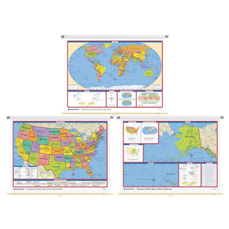
Rand McNally Elementary Political 2 Wall Map Combo
Description
Rand McNally Elementary Political Wall Maps includes a world map, United States map and a map of Alaska and Hawaii. World map features bright, contrasting colors to teach size, shape and location of countries and bodies of water. Country boundaries and names are clearly shown in large easy-to-read type and makes use of the educationally sound Robinson projection. All maps are mounted on one spring roller together. The US maps features labeled state capitals, national capitals and major cities, national parks, historical sites, time zones and a US timeline with 16 key historical events. Special features covering cardinal and intermediate directions, hemispheres and continents are included. Measures 70 x 52 inches. Set of 3.Includes: 3 Maps Shipping Details Shipping Type: parcel Free Shipping: true Specifications ISBN Number: 9780528027376 UPC: 070609005560 Allergens: Contains No Allergens Certifications: Not Applicable Grade Level: Elementary-Middle School SUOM Description: Each Brand Name: Rand McNally Description: Elementary World/US Wall Map Material: Paper Size: 70 x 52 in
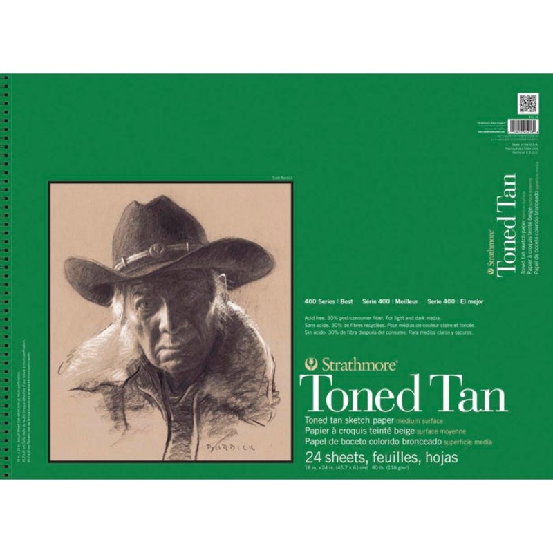
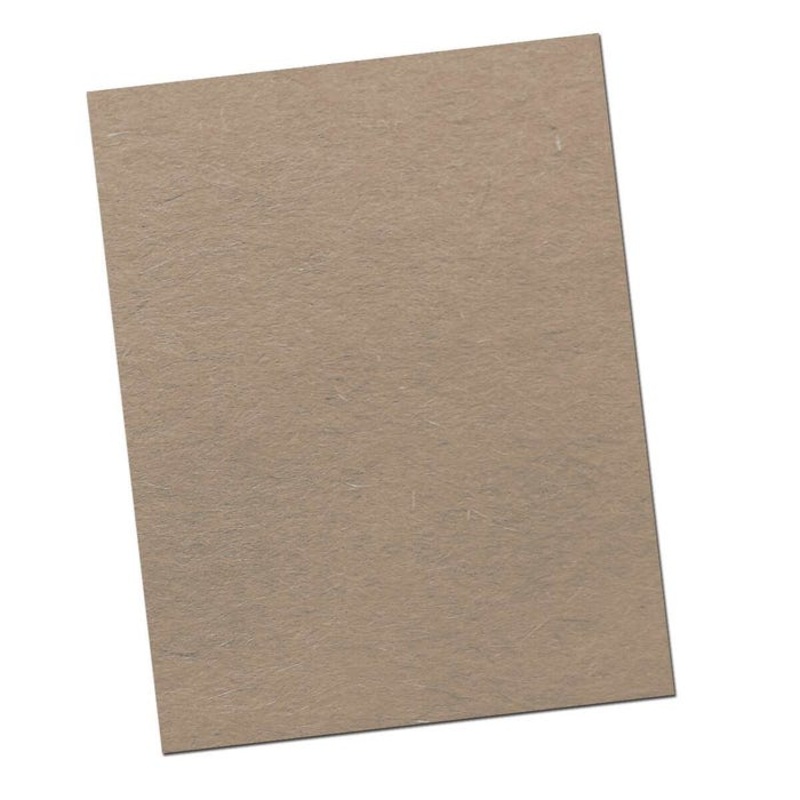
Strathmore 400 Series Toned Tan Drawing Pad, 18 x 24 Inches, 80 Pound, 24 Sheets
Original price was: $24.37.$14.62Current price is: $14.62.

6X1 1/4 BH PH STEEL COURSE THRD DRYWAL
Original price was: $5.49.$3.29Current price is: $3.29.

ILCO Hyundai Nickel Plated Automotive Key, HY16P (5-Pack)
Original price was: $4.99.$2.99Current price is: $2.99.

Pyrex Vista TC Graduated Cylinder, 250 mL, Pack of 12
Original price was: $207.35.$103.68Current price is: $103.68.
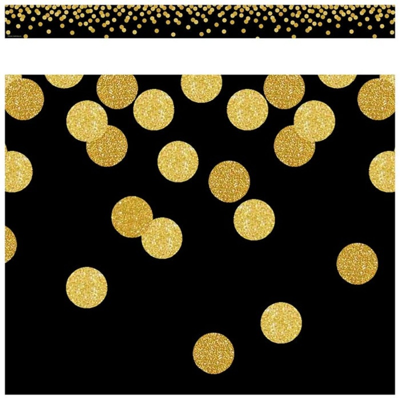
Teacher Created Resources Confetti Black Border Trim, 2-3/4 x 35 Inches
Original price was: $5.02.$3.01Current price is: $3.01.
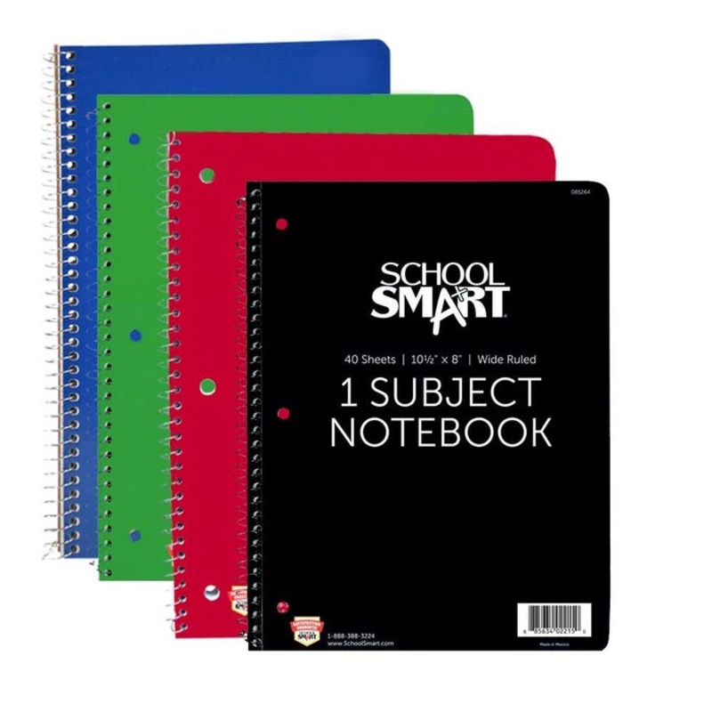
School Smart Spiral Non-Perforated 1 Subject Wide Ruled Notebook, 10-1/2 x 8 Inches
Original price was: $3.29.$1.97Current price is: $1.97.